In this guide
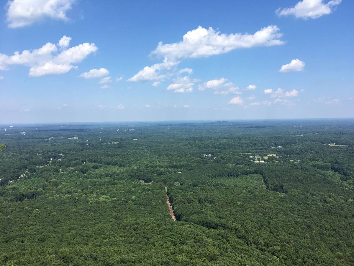

Which Crowders Mountain trail should you take?
| Your plan | Where to start | What the state lists |
|---|---|---|
| A shorter walk without a summit | Sparrow Springs and the lake area | Lake Trail is 0.8 mile. Use the map to account for your approach from parking. |
| Crowders Mountain summit from Linwood Road | Linwood Road access | Backside Trail is 0.8 mile and strenuous. Plan for a steep approach and stairs. |
| Kings Pinnacle | Sparrow Springs access | Pinnacle Trail is 2 miles and strenuous. Budget for the return. |
| A longer ridge outing | Use the map to confirm endpoints and access | Ridgeline Trail is 6.2 miles. Count any connectors, and decide in advance how you will return. |
The lengths above describe the individual trails, so a hike that uses connecting trails or returns the same way is longer. Read the park’s ratings and map for the full route, then pick a turnaround time that leaves margin before the gate closes. Official trail list · Park map
Parking at Sparrow Springs, Linwood Road or Boulders
Sparrow Springs is the main visitor-center access. Linwood Road is a different parking area, with its own address in Gastonia. Boulders serves another part of the park. Check the state park’s current directions and notices for the entrance you intend to use. If your lot is unavailable, pick another route from the map before moving the car. Park entrances and directions
Plan around the slowest hiker
For a group with mixed experience, start with the lower walk or set an early point where everyone can agree to turn around. Take water and suitable shoes, and check the forecast and park alerts before leaving. At overlooks, stay on established routes and give edges a wide berth. Expect the descent to take attention as well as the climb. Park activities
A flexible half-day plan
Choose one main trail and one shorter option from the same parking area. Save the map, check gate hours and note the trail color and shape before starting. At each junction, compare the sign with your planned route. If you start late or the trail is slower than expected, use your planned turnaround so the outing still works. For other options west of Charlotte, see the day trips guide.
Compare two Linwood approaches before you commit
NC State Parks lists the Tower Trail at 1.8 miles and the Backside Trail at 0.8 mile. Both should be treated as climbing routes. The park’s trail inventory describes a substantial stair climb near the top of Backside Trail. If you want to combine the two approaches, follow the official map to establish where they join, the full distance and how you will get back to your car. Use 4611 Linwood Road, Gastonia for the Linwood access. Linwood access · Trail lengths · State park trail inventory
Charlotte Postcards
Send a view from Crowders Mountain or choose from eight Charlotte-area designs.
View Charlotte Postcards →Read next
Daniel Stowe Conservancy in Belmont: Garden tickets and free trails
Daniel Stowe Conservancy is the name of the wider property that includes the botanical garden long known as Daniel Stowe Botanical Garden. It is at 6500 South New Hope Road in Belmont. Decide first whether you want the admission-based Gardens or a trail outing from the Village at Stowe. The operator lists free outdoor areas alongside the ticketed garden. Conservancy visit guide · Hours and admission
Day trips from Charlotte, NC
Choose the kind of day first: a short history visit, a lake outing, a museum day or a mountain hike. Then check the particular entrance, activity and return journey. This guide covers sixteen North Carolina destinations researched from official sources, plus a train option. It is not a drive-time ranking or a firsthand review of every place.
Charlotte greenway parking: 75 county-mapped access points
A greenway name is not a parking destination. Start with a specific entrance, decide how far you want to go, and check the rules for the park or town operating that access point.