Charlotte Neighborhoods Guide
A sourced guide to Charlotte neighborhoods for people comparing where different parts of the city came from, what is actually documented there, and what still needs research — without fake rankings or guessed boundaries.
Most “best neighborhood” pages start with a ranking. This one starts with the evidence. We compare documented history, built form, transit and outdoor connections where the sources support them. We do not publish safety tiers, school rankings, live house prices or invented “vibes” as if they were permanent facts.
Neighborhood profiles
These are researched profiles, not rankings. More neighborhoods will be added as their source material is checked.
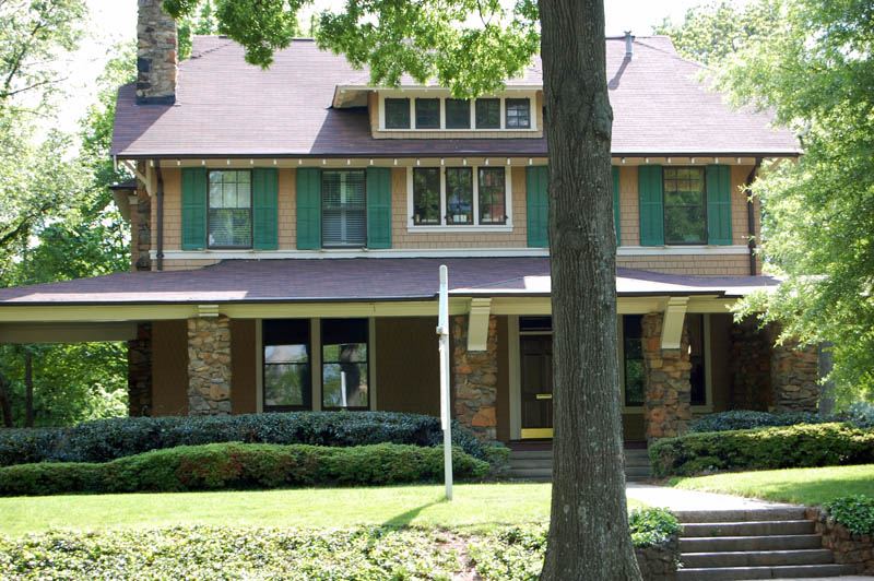
Dilworth
Dilworth was laid out for Edward Dilworth Latta, and it kept his middle name. The National Register of Historic Places lists it…
/neighbourhoods/dilworth/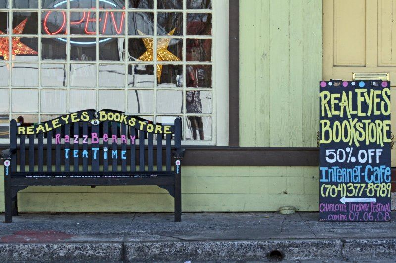
NoDa (North Charlotte)
NoDa is short for North Davidson, the street it grew up along. The name is recent; the place is not. On the National Register of…
/neighbourhoods/noda-north-charlotte/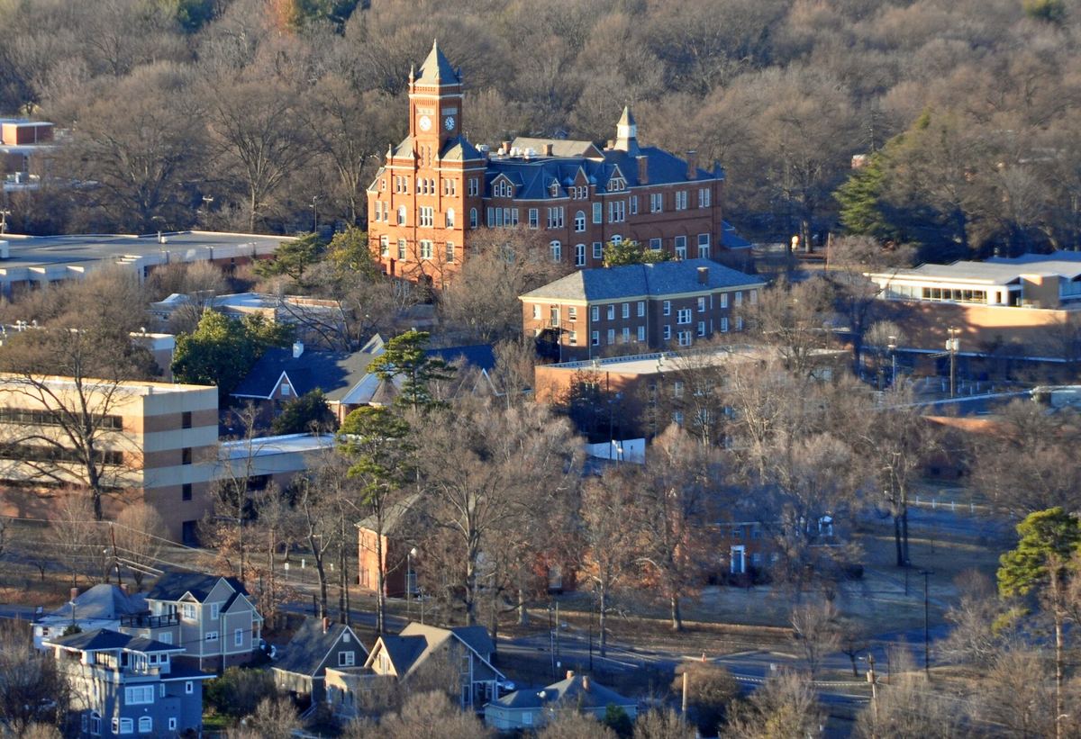
The Historic West End
West of Uptown, around the campus of Johnson C. Smith University, is a network of neighbourhoods that has been the centre of…
/neighbourhoods/historic-west-end/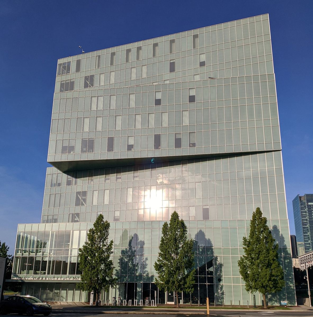
University City
Charlotte's north-eastern quarter is organised around a university, a boulevard and a rail line, and that is more interesting…
/neighbourhoods/university-city/How the city grew
How Charlotte's neighbourhoods were made
Most of what gets written about Charlotte's neighbourhoods is estate-agent copy. This page is built from a different kind of…
/neighbourhoods/how-they-were-made/Thirteen Charlotte neighbourhoods, and where their histories are written down
Charlotte is often described as a city that knocked down its own past. That is true in places — and one of those places…
/neighbourhoods/historic-series/Who designed Charlotte: the planned suburbs
Drive through Dilworth, Myers Park or Elizabeth and the streets curve where a developer working to a grid would have run them…
/history/planned-suburbs/Brooklyn: the neighbourhood Charlotte demolished
If you stand in Charlotte's Second Ward today — among the government buildings, the car parks and Marshall Park — you are…
/history/brooklyn/Compare the researched profiles
| Area | What the research establishes | Useful connection |
|---|---|---|
| Dilworth | Charlotte’s first planned streetcar suburb; later expansion used an Olmsted Brothers plan. | Little Sugar Creek Greenway |
| NoDa / North Charlotte | An early-20th-century textile mill district whose mill village and street pattern still explain the area. | LYNX Blue Line + Little Sugar Creek Greenway |
| University City | A district organized around UNC Charlotte, North Tryon / University City Boulevard and rail access. | LYNX Blue Line + Toby Creek Greenway |
| Historic West End | A network of historically Black neighborhoods around Johnson C. Smith University and the Beatties Ford Road corridor. | Irwin, Stewart Creek and Wesley Heights greenways |
This table compares what our sources establish. It is not a recommendation about where anyone should live.