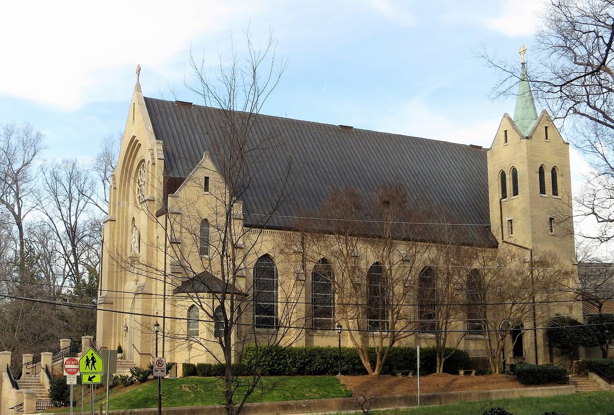
_-_exterior_3_cropped.jpg)
| Address | Roughly bounded by Myrtle, Morehead, Berkeley, Dilworth Rd., W., Charlotte, Park, Tremont, Cleveland and Renssalaer; also the eastern side of the 2000 block of Euclid Ave. and both sides of the 2000 block of Lyndhurst Ave., Charlotte |
|---|---|
| Architectural style | Late 19Th And 20Th Century Revivals |
| National Register | ref 87000610, listed 1987-04-09 |
| Research depth | dossier, independently sourced |
What we established, and from where
The nomination describes Dilworth as laid out in three sections: an 1891 grid ringed by a boulevard and park, a 1912 curvilinear section from Olmsted Brothers plans, and a further curvilinear section of 1920.
independent National Park Service / NC SHPO · checked 2026-09-17
Edward Dilworth Latta bought a 442-acre farm south of Charlotte and introduced the streetcar suburb to the city in 1891.
independent National Park Service / NC SHPO · checked 2026-09-17
Lots throughout Dilworth are long and narrow, with the houses sitting close to the street.
independent National Park Service / NC SHPO · checked 2026-09-17
The main road branched at the "waist" of the tract into Dilworth Road East and Dilworth Road West.
independent National Park Service / NC SHPO · checked 2026-09-17
The nomination states the design intended the white Dilworth neighbourhood to be kept clearly separate from black Second Ward.
independent National Park Service / NC SHPO · checked 2026-09-17
The district is bounded roughly by Cleveland Avenue and Myrtle Avenue on the north-west.
independent National Park Service / NC SHPO · checked 2026-09-17
The boundary increase extends the Dilworth Historic District to include both sides of the 2000 block of Lyndhurst Avenue and the east side of the 2000 block of Euclid Avenue.
independent National Park Service / NC SHPO · checked 2026-09-18
As recorded in the 2000 nomination, the boundary increase adds eighteen houses and five garages, totalling twenty-three buildings, to the district.
independent National Park Service / NC SHPO · checked 2026-09-18
As recorded in the 2000 nomination, fourteen of the eighteen houses are Craftsman bungalows, one is a Queen Anne house probably designed by the architect C. C. Hook, and the remaining three are vernacular dwellings.
independent National Park Service / NC SHPO · checked 2026-09-18
All eighteen lots in the boundary increase were part of the original 1891 plan for Dilworth, Charlotte's first streetcar suburb.
independent National Park Service / NC SHPO · checked 2026-09-18
The Helms-Bell House at 2021 Euclid Avenue is the oldest house in the boundary increase area.
independent National Park Service / NC SHPO · checked 2026-09-18
Paul Reid Younts had an active army career, serving in both World Wars and ultimately reaching the rank of Brigadier General.
independent National Park Service / NC SHPO · checked 2026-09-18
The period of significance for the boundary increase begins in 1899, the construction date of the earliest house, and continues through 1941.
independent National Park Service / NC SHPO · checked 2026-09-18
The boundary increase was drawn to take in three blocks at the eastern edge of the original historic district, made up mainly of late-1920s bungalows.
independent National Park Service / NC SHPO · checked 2026-09-18
The primary source
The National Register nomination is the fullest account of this property that exists, written by a researcher and reviewed by the State Historic Preservation Office. The nomination (National Park Service).
Browse from here
all 201 listed places in Charlotte