
University City
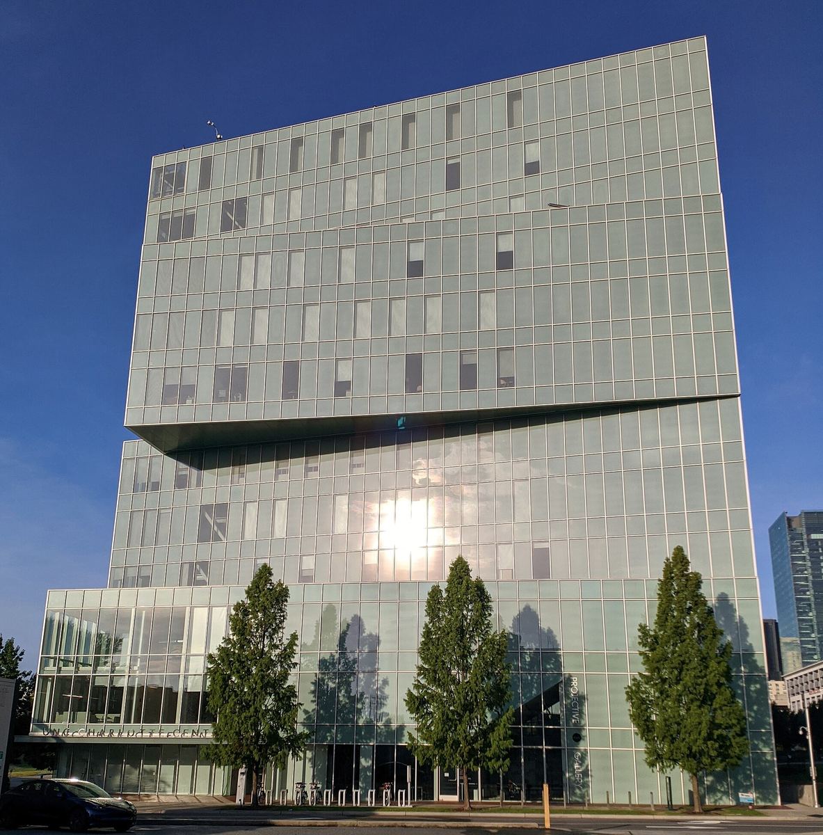
The LYNX Blue Line ends here, on the UNC Charlotte campus. From the station you can walk straight onto the Toby Creek Greenway, which runs 2.9 paved miles through the campus and out to Rocky River Road, joining the Mallard Creek Greenway near Kirk Farm Fields and forming part of the Cross Charlotte Trail. As far as we can establish from the county's records, it is the only greenway in Mecklenburg County that runs through a university campus.
The gardens. UNC Charlotte Botanical Gardens sit at 9201 University City Boulevard: three garden sites with sixteen collections, including the McMillan Greenhouse, Van Landingham Glen and a rare Titan Arum. Admission is free, with donations invited. The university is straightforward about access — it states that the greenhouse is wheelchair accessible but the outdoor gardens are not, because of sloping and uneven terrain. Plan accordingly.
Libraries. University City Regional Library is at 5528 Waters Edge Village Drive. The library system's Robinson-Spangler Carolina Room — its local history and genealogy collection, and the starting point for serious research into a Charlotte house, family or neighbourhood — is also based in this part of the city, though when we last checked it was operating by phone and virtual reference rather than as a walk-in room.
Getting active. Mecklenburg County runs recreation centres at Mallard Creek (2350 Johnston-Oehler Road) and Eastway Regional (3150 Eastway Park Drive), the latter with a nature space attached.
Where the shops are. The main commercial areas are along W.T. Harris Boulevard and North Tryon Street, with a second cluster north around Prosperity Church Road in the Mallard Crossing centre.
A car-free half-day. Blue Line to UNC Charlotte–Main. Walk the botanical gardens. Pick up Toby Creek Greenway on campus and follow it as far as suits you. Back to the station.
Greenway conditions and campus access arrangements change — check with Mecklenburg County Park and Recreation and with the university before relying on campus routes.


Places on this page, in detail
- Eastway Park · parks and open space
Read next
Local landmark or National Register? What the labels actually mean
If you have looked into an old Charlotte building you will have met both phrases, often on the same…
Who designed Charlotte: the planned suburbs
Drive through Dilworth, Myers Park or Elizabeth and the streets curve where a developer working to a…
Dilworth
Dilworth was laid out for Edward Dilworth Latta, and it kept his middle name. The National Register of…
NoDa (North Charlotte)
NoDa is short for North Davidson, the street it grew up along. The name is recent; the place is not. On…
The Historic West End
West of Uptown, around the campus of Johnson C. Smith University, is a network of neighbourhoods that…
Brooklyn: the neighbourhood Charlotte demolished
If you stand in Charlotte's Second Ward today — among the government buildings, the car parks and…