
But it is not the whole story. A great many Charlotte neighbourhoods are still standing, still lived in, and still carrying histories that began with a ferry crossing, a mill whistle, a university, or a formerly enslaved man buying a hundred acres of farmland. Those histories have been compiled, carefully, by the librarians at UNC Charlotte's J. Murrey Atkins Library in a research guide called Historic Charlotte Neighborhoods.
What follows is a short introduction to twelve of those neighbourhoods, drawn from that guide, with a link from each to the library's own page. If you want to go deeper — and these are neighbourhoods that reward going deeper — the library's page is where to go next. It points to the archival material we are only summarising.
A note on what this is. This is a history series, not a moving guide. We have not walked these streets to write it, and we do not tell you what a neighbourhood feels like today. Where the library's research is cautious or thin, we say so rather than filling the gap.
Biddleville
Often noted as Charlotte's oldest surviving Black neighbourhood — a claim you will see repeated widely, and one worth understanding rather than simply accepting.
Biddleville formed around the Henry J. Biddle Memorial Institute, a Reconstruction-era institution established to train Black preachers and teachers. Housing for people associated with the Institute went up from 1871. The Institute became Johnson C. Smith University, and the neighbourhood's history and the university's are inseparable from that point on.
Read the library's page: Biddleville — Historic Charlotte Neighborhoods

Cherry
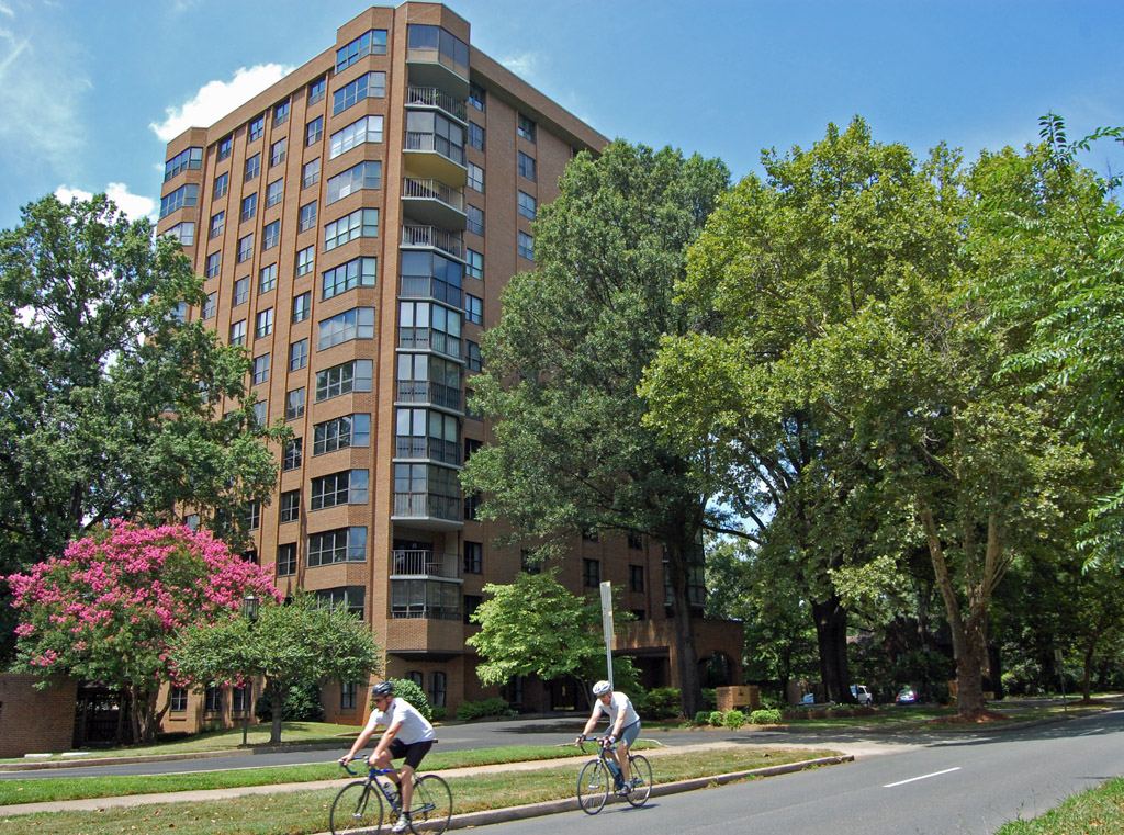
One of Charlotte's oldest surviving African American neighbourhoods, and — geographically — one of its most pointed. Cherry sits directly beside Myers Park, the city's most celebrated planned suburb.
It was platted in 1891 by John Myers, using land carved from his thousand-acre cotton farm. The Myers family's motivation is usually described as a desire to aid the Black community. The Atkins guide is careful here: it notes that only two sources speak to that stated desire. We pass that caution on rather than repeating the intention as established fact.
The guide also cites reporting by WFAE on gentrification pressure in Cherry — a neighbourhood whose land is now some of the most valuable in the city, for the same reason it was affordable in 1891.
Read the library's page: Cherry — Historic Charlotte Neighborhoods
Grier Heights
Grier Heights begins with a purchase. In the 1890s Sam Billings, a formerly enslaved man, bought 100 acres — recorded as the first time an African American bought land in Charlotte.
The settlement itself started earlier and smaller: four houses in 1886, in a farming community then called Grier Town. It grew into a neighbourhood of lower-income and middle-class Black families — teachers, masons, postal workers.
Read the library's page: Grier Heights — Historic Charlotte Neighborhoods

McCrorey Heights
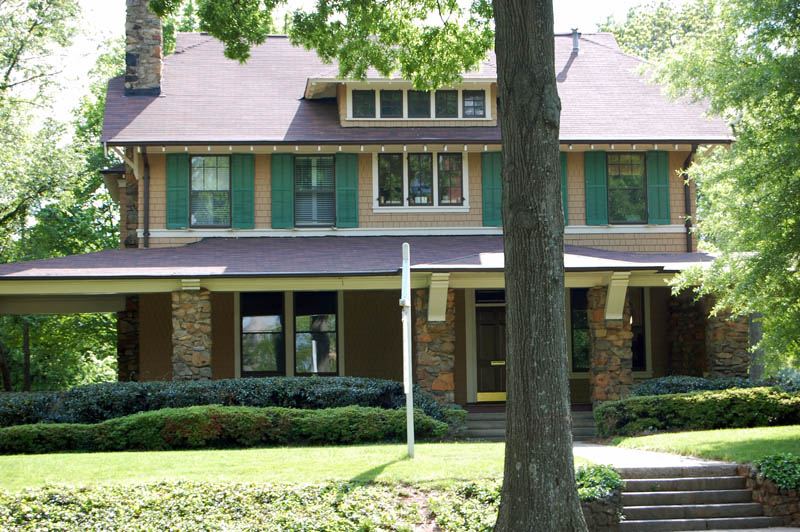
McCrorey Heights was built by a university president with rental income.
Reverend H. L. McCrorey, president of Johnson C. Smith University, had worked at the Progress Investment Realty Company, buying land in what is now Washington Heights. He used the income from that property to build McCrorey Heights. A street grid was laid out as early as 1912, and a few dwellings went up on Oaklawn Avenue in that first attempt — but the substantial development came nearly forty years later.
McCrorey Heights was added to the National Register of Historic Places on 26 May 2026, making it one of Charlotte's most recent listings.
Read the library's page: McCrorey Heights — Historic Charlotte Neighborhoods See also: How historic designation works in Charlotte
Washington Heights
Washington Heights exists because two other neighbourhoods would not have its residents.
Dilworth and Elizabeth were kept racially segregated by "race clauses" written into their property arrangements. With a rising Black middle class in Charlotte and nowhere in those suburbs to buy, white developers Walter S. Alexander, John M. Scott and A. M. McDonald organised the Freehold Realty Company to serve that market.
The Atkins guide quotes the period view directly: that "a suburban location seemed a fashionable and fitting attainment for families who had worked their way up from penniless ex-slavery in two generations."
Read the library's page: Washington Heights — Historic Charlotte Neighborhoods
Greenville
Greenville was one of six villages that grew in a ring around Charlotte township in the 1890s, alongside Biddleville, Blandville, Seversville, Irwinville — and Cherry. All but Seversville were populated by Black residents by the time they appeared in the city directory.
The historian Tom Hanchett notes that, apart from Biddleville and Cherry, these villages are hard to visualise today because of 1960s urban renewal. Greenville and Irwinville were demolished.
We write about Greenville in the past tense for that reason. It is not a place you can go and see.
Read the library's page: Greenville — Historic Charlotte Neighborhoods See also: Brooklyn, and what urban renewal did to Charlotte
Belmont
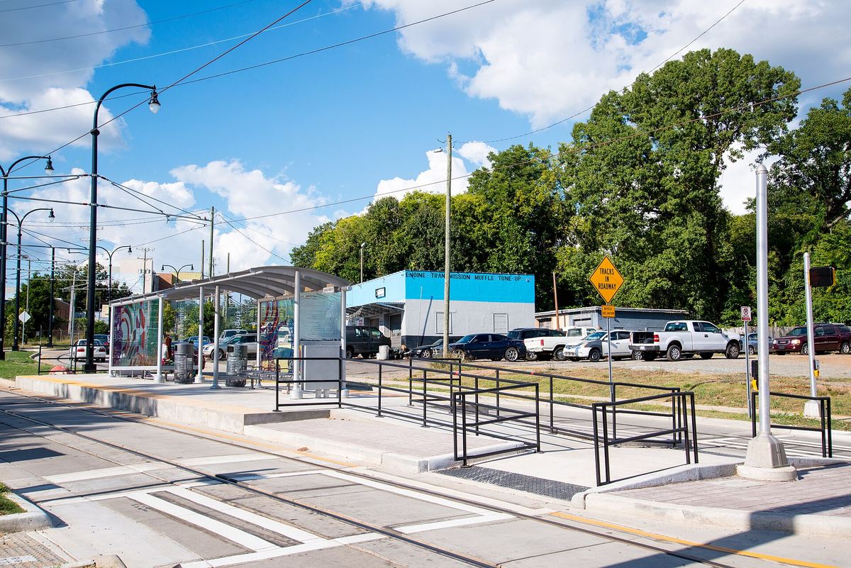
A turn-of-the-century north-east Charlotte community, served by streetcars from its inception alongside Villa Heights and Optimist Park.
Railway lines on its southern and western edges drove industrial development, and three mills were built in the area. The third, Louise Mill, stood between Louise Avenue and Hawthorne Lane. It came with seventy-two worker cottages, linking Pamlico, Louise and Pegram streets — a mill village inside a streetcar suburb.
Read the library's page: Belmont — Historic Charlotte Neighborhoods
Not to be confused with the town of Belmont in Gaston County, west of Charlotte across the Catawba. Different place entirely. See Day trips from Charlotte.
Optimist Park
The Historic Landmarks Commission groups Optimist Park with Belmont and Villa Heights, and the three share a history.
Optimist Park was suburban by the turn of the century and had streetcar access by the 1910s, but it never reached the "streetcar suburb" status of Dilworth or Elizabeth. Railway lines bound it, and industrial development turned its farmland into cotton mills. The Alpha Cotton Mill on the neighbourhood's southern tip was one of three built in the area in 1888 — designed and built by D. A. Tompkins, whose firm shaped an extraordinary amount of what the Carolinas built in that period.
Read the library's page: Optimist Park — Historic Charlotte Neighborhoods See also: Reading Charlotte's architecture — on Tompkins and the other firms that built the city
Enderly Park
Research by UNC Charlotte's Charlotte Action Research Project describes Enderly Park as a white blue-collar middle-class neighbourhood through much of the period 1920–1980, with its demographics shifting around 1980 as more African American residents moved in.
Its early growth is linked to Camp Greene — the federal army base built there during the First World War — and to the development of Wesley Heights and Biddleville nearby.
Read the library's page: Enderly Park — Historic Charlotte Neighborhoods
Graham Heights
A post-war neighbourhood: houses largely built in the 1950s and bought by their owners in the 1960s, most of them around 1,000 square feet.
Three churches sit in the neighbourhood, including Walls Memorial AME Zion Church, along with Charlotte Fire Station 11. The Atkins guide records neighbourhood concerns about absentee landlords, vacant properties and copper theft, and notes that a neighbourhood association was organised in response.
Those concerns are recorded in the library's research, which is a snapshot rather than a current report. We have not independently verified conditions in Graham Heights today, and we are not asserting them.
Read the library's page: Graham Heights — Historic Charlotte Neighborhoods
Derita
Six miles north of Uptown, close to UNC Charlotte, Derita began as a rural farming village and a trade post for Mecklenburg farmers. Rail access sustained that farming character well into the twentieth century.
The Atkins guide makes a point worth noting: Derita remains relatively untouched by urban renewal and by gentrification. Businesses like Puckett's Farm Equipment are still there — the kind of continuity that is genuinely uncommon this close to a growing city.
Read the library's page: Derita — Historic Charlotte Neighborhoods
Shuffletown
A former hamlet of farmers beside the Catawba River, and the oldest thread in this series.
The earliest known records are of a ferry operating on the Catawba since at least 1764, carrying merchants, settlers and enslaved people to Charlotte. In the early 1800s the local blacksmith Sam Spurrier built a general store that became the town centre.
The guide records that after emancipation, Black and white residents in Shuffletown lived side by side as small farmers.
Read the library's page: Shuffletown — Historic Charlotte Neighborhoods
The thirteenth
Brooklyn — Charlotte's Second Ward, cleared under urban renewal. It has its own page, and it is the one to read if you only read one.
Where to research further
- Historic Charlotte Neighborhoods, J. Murrey Atkins Library, UNC Charlotte — the guide this series summarises. It points to the archival collections behind each neighbourhood.
- Robinson-Spangler Carolina Room, Charlotte Mecklenburg Library — local history collection, city directories, maps. See Charlotte's libraries.
- Charlotte-Mecklenburg Historic Landmarks Commission — survey reports and designation files for individual properties within these neighbourhoods. See How historic designation works.
Sources: S-0740 – S-0751 (Historic Charlotte Neighborhoods, UNC Charlotte Atkins Library, one page per neighbourhood). Historical summaries drawn from those pages; National Register listing data from our own register dataset. Verified 2026-09-13. Neighbourhood conditions described in the library's research are snapshots and are attributed as such, not asserted as current.
Places on this page, in detail
- Enderly Park · parks and open space
- Community · public art
- Response · public art
- Alpha Cotton Mill · Cotton Mill
Read next
Local landmark or National Register? What the labels actually mean
If you have looked into an old Charlotte building you will have met both phrases, often on the same…
Who designed Charlotte: the planned suburbs
Drive through Dilworth, Myers Park or Elizabeth and the streets curve where a developer working to a…
Dilworth
Dilworth was laid out for Edward Dilworth Latta, and it kept his middle name. The National Register of…
NoDa (North Charlotte)
NoDa is short for North Davidson, the street it grew up along. The name is recent; the place is not. On…
The Historic West End
West of Uptown, around the campus of Johnson C. Smith University, is a network of neighbourhoods that…
University City
Charlotte's north-eastern quarter is organised around a university, a boulevard and a rail line, and…