In this guide
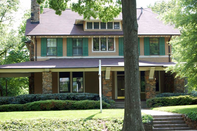

Dilworth: Charlotte's first planned suburb
Edward Dilworth Latta developed the neighborhood that bears his middle name. Its National Register nomination identifies a period of significance of 1891–1941 and recognizes community planning, architecture and landscape architecture. The original 1891 layout used a grid; the Olmsted Brothers firm helped plan the 1910s extension. Its southern section followed their curving-street design, while the northern section developed differently. Read the nomination
The City records Dilworth's National Register listing in 1987 and its separate local historic-district designations in 1983 and 1992. These are different forms of recognition, with boundaries that should be checked for a specific address. City district information and map

What to see
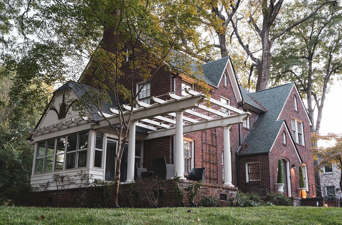
For a defined outing, History South's Dilworth self-guided walk begins near the streetcar-rail sculpture at 1600 Dilworth Road East by Latta Park. The author describes a roughly two-mile route through the curved streets and the older grid, with a shorter option. Use its directions as a history route, stay on public sidewalks, and follow current signs and crossings. This is not a checked step-free itinerary.
Holy Trinity Greek Orthodox Cathedral is at 600 East Boulevard. The parish dates to 1923 and the cathedral building to 1954. Check the cathedral's own arrangements before seeking interior access. Its parish history and the Yiasou Greek Festival organizer are the sources for background and future event dates.
For more time outdoors, choose Latta Park, Freedom Park or a separate Little Sugar Creek Greenway walk. Carolina Thread Trail maps a 3.9-mile Brandywine Road–7th Street segment passing Freedom Park. That is the mapped segment length, not a distance from every Dilworth starting point. Use the county's greenway maps to choose an entrance and check the route before extending your outing; this guide does not promise an uninterrupted park path from any neighborhood starting point.

Finding your way into the history
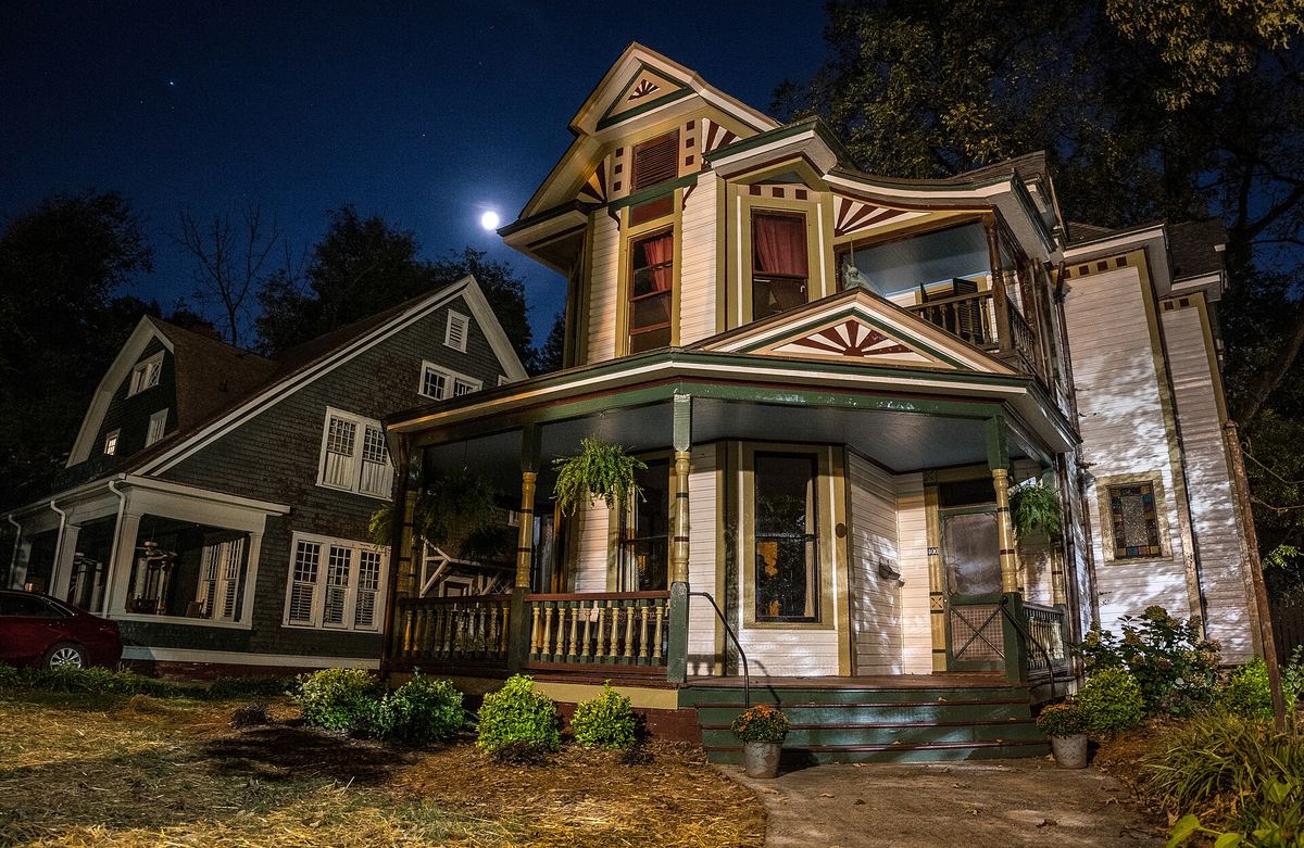
The all-volunteer Dilworth Community Association publishes history, maps and an explanation of the association's role versus the Historic District Commission. Its annual home tour opens participating homes under event-specific arrangements. Check the organizer for the next tour; ordinary street walks do not include private gardens, houses or alleys.
If you are planning exterior work, ask City Historic District Commission staff whether the address is within the local district and whether a Certificate of Appropriateness is required before work starts. The City's guidance includes exterior alterations and some site work; normal maintenance can be treated differently. The neighborhood association does not issue the approval. City COA guidance
Before you go
The county's Tom Sykes Recreation Center page, checked October 4, 2026, says the facility is closed until September 2027 because of construction at Dilworth Elementary School. Follow the county's current notice rather than the association's earlier August estimate, and do not treat either month as a guaranteed reopening date.
For an outing centered on rail access and shops, compare South End. For another streetcar-era landscape, compare Elizabeth.
Sources and limits
Historical details come from the district nomination and City history; current visitor information comes from the association, cathedral, county and event organizer. Reviewed October 4, 2026. Historic recognition does not grant entry to private property. Recheck events, facilities, construction and route conditions before travel.
Places on this page, in detail
- Freedom Park · parks and open space
- Latta Park · parks and open space
- Tom Sykes Recreation Center · outdoor recreation facilities
- Community · public art
Handbook goods · In development
Neighborhood prints
An original print series inspired by Charlotte neighborhoods is in development. These are design concepts; products are not for sale yet.
Explore the collection concept →Read next
Ballantyne: an outing at The Bowl and TD Amp
For a leisure visit to Ballantyne, start with a named destination. The Bowl groups dining, services, Stream Park and TD Amp Ballantyne around one visitor area. It is a useful starting point for a meal, a walk or a performance, rather than a reason to treat the whole neighborhood as one compact shopping street.
Choose a starting point
Start with a neighborhood name, then follow the evidence: old maps, photographs, school records and the voices of people who lived there. These thirteen introductions lead into UNC Charlotte’s neighborhood histories and show how to distinguish a surviving place, a changed streetscape and a community displaced by redevelopment.
Dilworth and the first streetcar suburb
Streetcars, textile mills and planned suburbs shaped Dilworth, Myers Park, Elizabeth, North Charlotte and Wesley Heights. Their historic-district nominations explain the street patterns and housing that developed there, while later research helps explain who was excluded.
The Historic West End
The streets around Johnson C. Smith University are an important starting point for the history of Black Charlotte. The Historic West End connects neighborhood histories, churches, schools, public art and ongoing concerns about displacement. Begin with a named destination or a published walking route rather than treating the whole west side as one small district.
Charlotte playgrounds, spraygrounds and water play
Choose a Charlotte-area playground by the facilities your visit needs. Compare six starting points, find official water-play information and explore the larger county inventory below.
Who designed Charlotte: the planned suburbs
Street patterns, parks and housing help explain how Charlotte grew. Seven historic districts show different forms of planning, from streetcar suburbs to textile-mill villages. Their records name developers, landscape planners, architects and builders, whose roles should not be confused.