
Public transport
The Charlotte Area Transit System (CATS), run by the City of Charlotte, operates:
- the LYNX light rail
- the CityLYNX Gold Line streetcar
- local and express bus routes
- CATS Micro, an on-demand shared-ride service
- Special Transportation Service (STS), paratransit for people with disabilities
- a vanpool programme
CATS marks fifty years of public transit in Charlotte in 2026.
On fares: we are not going to quote you a number. A Fare Modernization Program was under way when we last checked, which means any figure printed here would be out of date before you read it. Buy through CATS directly and check the current fare there.

The light rail
The LYNX Blue Line runs north–south through the city, linking the southern suburbs to Uptown and on to the UNC Charlotte campus. If you are staying in Uptown, South End or University City, it will take you to a great deal of what you came for — including NoDa, which has stations at 36th Street and 25th Street.
The CityLYNX Gold Line streetcar runs through the centre.
Verification note for the editor: the line length, station count and opening dates in the research library come from an index source and must be confirmed against CATS before this paragraph is published with any numbers in it.
The airport
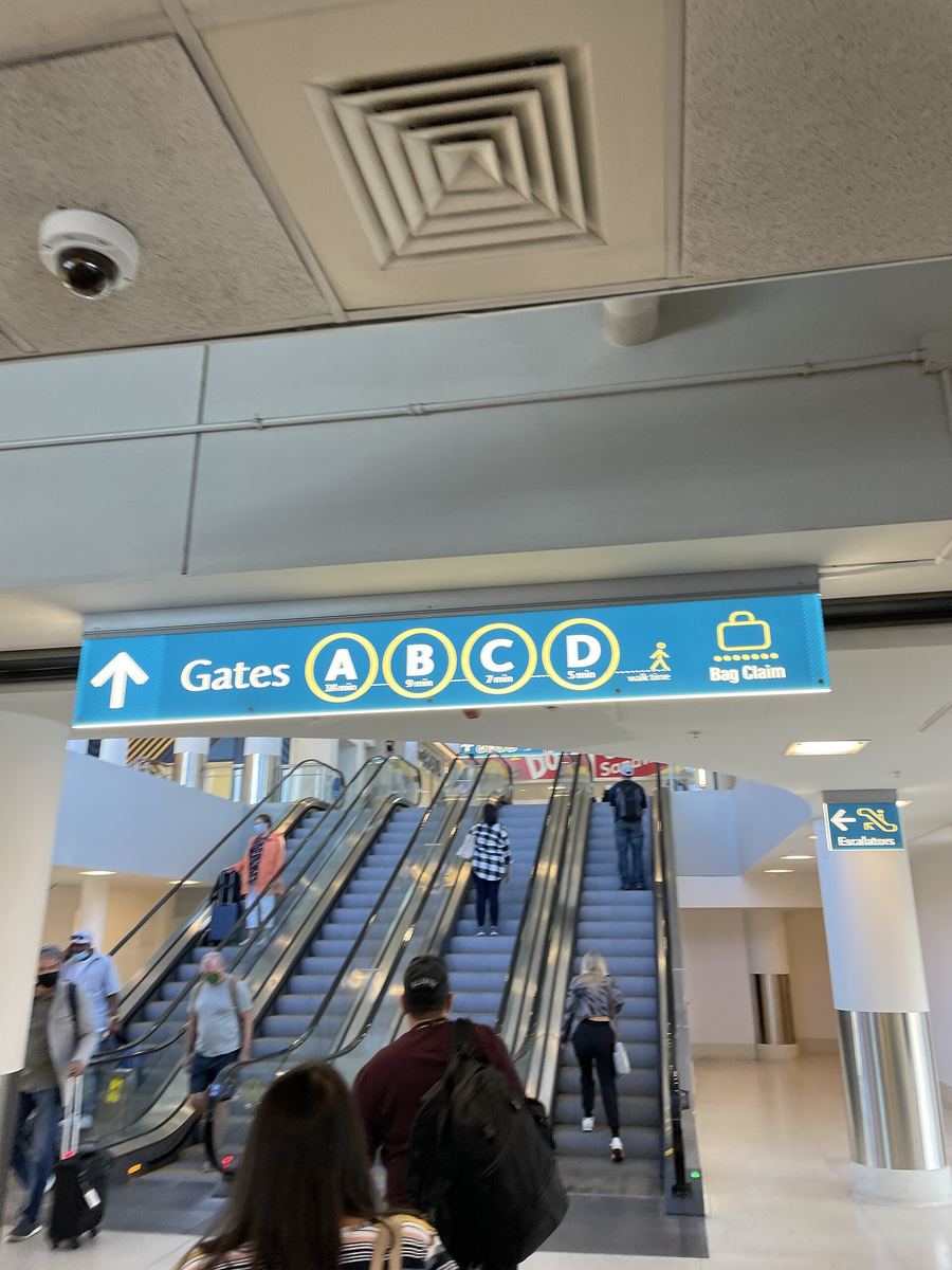
Charlotte Douglas International Airport (CLT) is west of the city. Its own site publishes flight, parking, shops and services information, along with bus wait times. Check there for current ground-transport arrangements rather than relying on anything printed elsewhere.

On foot and by bike
Two things make Charlotte better on foot than its reputation suggests.
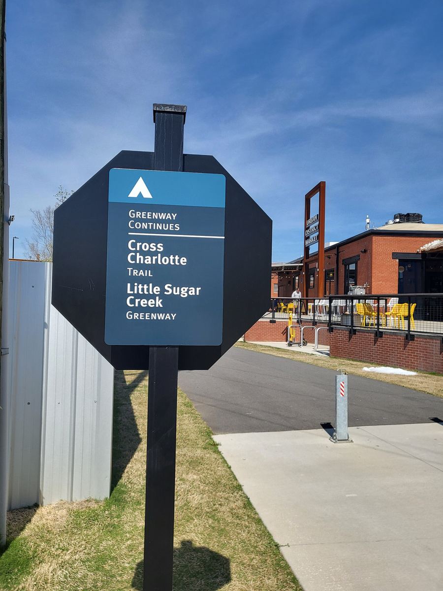
The first is the greenway network — 85.5 miles of greenway trail as of March 2026, generally twelve feet wide and paved, operating around the clock because the county treats them as transport rather than recreation. Little Sugar Creek Greenway alone runs roughly seventeen miles from NoDa to the South Carolina line.
The second is the Uptown CycleLink, a protected two-way cycle and e-scooter route running about 1.9 miles across the centre of Uptown, mostly along 6th Street, separated from traffic by curbing. It connects Little Sugar Creek Greenway at 7th Street to Irwin Creek Greenway at 5th Street and meets the Charlotte Rail Trail in the middle, which means you can cross the whole city centre between two greenway systems without joining traffic.
Two cautions on the CycleLink, both from the trail manager's own record: it is rated moderate to advanced, and dogs are not permitted. It is a cycling facility, not a stroll.
Parking
Not researched. We would rather say that than guess.
Places on this page, in detail
- Transportation · public art
- Transportation · public art
Read next
Places of worship in Charlotte
What this is, and what it is not. This is a researched selection of Charlotte's faith communities, not…
Libraries in Charlotte and Mecklenburg County
Charlotte Mecklenburg Library runs 23 locations across the county. A library card is the single most…
Charlotte-Print
A print counter in University City. Plan sets and blueprints, signage, business stationery and binding — quoted and proofed before anything goes on the press.
Charlotte Mailbox
Private mailboxes with a street-style address rather than a PO Box number, from a staffed counter — held behind the counter or in a box you can open at any hour.
Charlotte Tech Repair
Board-level repair done on the premises rather than shipped to a depot, plus consoles, drones and devices most shops turn away.
Just moved to Charlotte: the first few weeks
The admin, in the order it usually bites.