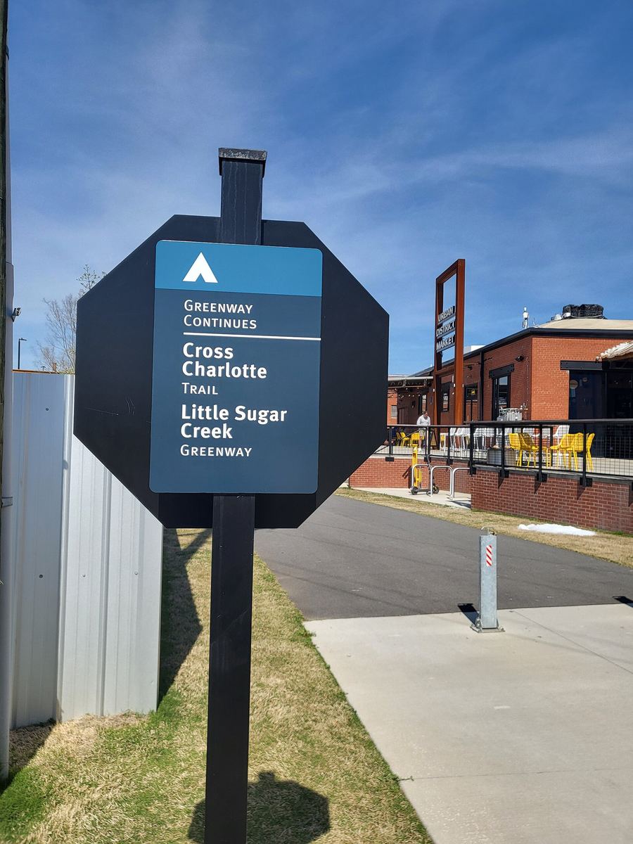

Charlotte's greenways
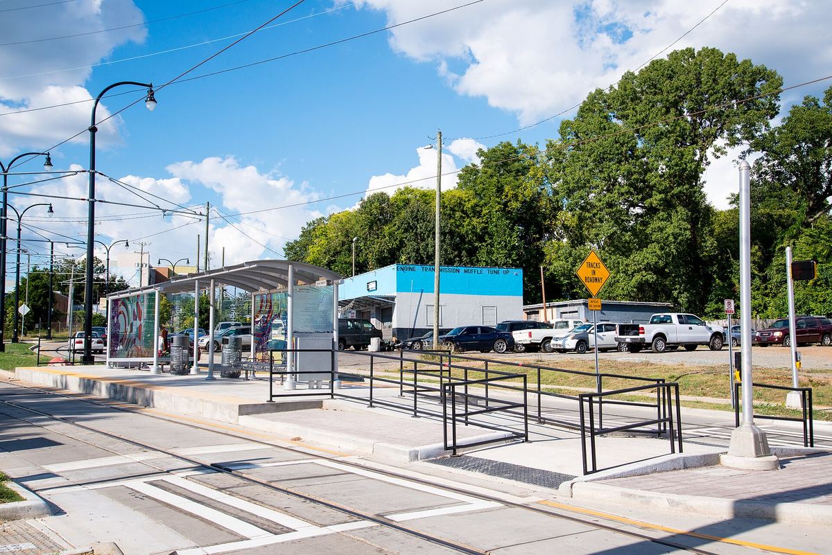

How much there is
Mecklenburg County Park and Recreation published this summary in March 2026:
| Miles | |
|---|---|
| Greenway trails | 85.5 |
| Greenway access trails | 25.9 |
| Urban trails | 30.4 |
| Nature preserve trails | 76.2 |
| Park trails | 225.5 (115.7 paved, 109.8 natural surface) |
There are also mountain bike trails in the county managed by the Tarheel Trailblazers.
The corridors
Seventeen named corridors, with the county's own distances and endpoints:
| Greenway | Distance | Runs between |
|---|---|---|
| Little Sugar Creek | over 17 miles | Brevard Street in NoDa to the South Carolina state line |
| Mallard Creek, Barton and Clarks Creek | 7.6 miles | Fairlea Drive and Amaranthus Court to Mallard Creek Church Road |
| Lower McAlpine, McMullen Creek and Four Mile Creek | 7.3 miles | Highway 51 to Johnston Road and Rea Road |
| Campbell Creek and Upper McAlpine Creek | 5.8 miles | Lockmont Drive to Providence Road |
| South Prong Rocky River (Town of Davidson) | 4.5 miles + 5.2 urban | Downtown Davidson, downtown Cornelius and Bailey Road Park |
| McDowell Creek, Torrence Creek and Torrence Tributary | 3.72 miles | Near Chilgrove Lane to Cedar River Road and Compass Street |
| West Branch Rocky River and Abersham | 3.6 miles | Within Abersham Park and Fisher Farm Park |
| Long Creek and Dixon Branch | 3.5 miles | I-77 east of Reames Road to I-485 near Trotter Road |
| Four Mile Creek | 3.3 miles | Downtown Matthews to Squirrel Lake Park |
| Toby Creek | 2.9 miles | Mallard Creek Greenway to Rocky River Road, through the UNC Charlotte campus |
| McDowell Creek | 2.82 miles | Magnolia Estates Drive to Highway 73 at Birkdale Village |
| Caldwell Station | 2.6 miles | Statesville Road to Bailey Road Park |
| Irwin Creek, Stewart Creek and Wesley Heights | 2.7 + 1.7 + 1.0 miles (three independent sections) | West Charlotte |
| Irvins Creek | 1.5 miles | Idlewild Road Park to Sam Newell Road |
| Briar Creek | 0.42 + 0.9 + 1.0 miles (three sections) | Arnold Drive to Masonic Drive; behind Myers Park High School; Randolph Road to Meadowbrook Road |
| Walker Branch and Hoover Creek | 1.1 miles (+0.2) | S. Tryon Street to Smith Road |
| Six Mile Creek | 0.9 miles | Along the county's southern border at Marvin Road |

What to expect underfoot
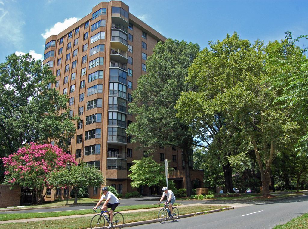
On the sections where the trail manager records it, the county greenway is 12 feet wide and paved, with concrete decking on boardwalks and bridges, and the manager states that access complies with ADA Recreational Trails standards. Neighbourhood access points are a different matter — the same records describe them as having "varying trail surfaces and trail grades", so the way in may not be as easy as the trail itself.
Two things the records are clear about and most guides omit:
- There is no lighting. Recorded for the Little Sugar Creek segments. Plan for daylight.
- Flooding closes them. Little Sugar Creek is explicitly subject to flooding, and the trail manager asks users to check for closures and to watch for soil and debris washed onto the surface after rain.
Mile markers are part of the signage. If you need to call 911 from a greenway, the county asks you to give the greenway name and the nearest mile marker or neighbourhood exit address.
One thing to know before you plan a long walk
The published length of Little Sugar Creek Greenway varies by source: Mecklenburg County says "over 17 miles", the Carolina Thread Trail's segment records describe a "16-mile corridor", and the Trail of History says the greenway "will feature over 19 miles of trails" when complete. These can be reconciled in principle — built length, continuous corridor, and planned length are three different measurements — but no source says so, so we are not going to pretend otherwise. Plan by the segment you intend to walk, not by the corridor total.
Our walking routes
We have researched thirteen specific routes from these corridors, with start and finish points, surfaces, parking, facilities and cautions. None of them has been walked by us — they are built from official trail and map records, and conditions change.
Current conditions and closures: Mecklenburg County Park and Recreation.
Places on this page, in detail
- Bailey Road Park · parks and open space
- Fisher Farm Park · parks and open space
- Idlewild Road Park · parks and open space
- Squirrel Lake Park · parks and open space
- Abersham Park · parks and open space
- Abersham Park · parks and open space
- Transportation · public art
- Transportation · public art
Read next
Places of worship in Charlotte
What this is, and what it is not. This is a researched selection of Charlotte's faith communities, not…
Libraries in Charlotte and Mecklenburg County
Charlotte Mecklenburg Library runs 23 locations across the county. A library card is the single most…
Carolina Raptor Center, Huntersville
It started with one bird. In 1975 someone brought an injured broad-winged hawk to Dr Richard Brown, an…
Charlotte-Print
A print counter in University City. Plan sets and blueprints, signage, business stationery and binding — quoted and proofed before anything goes on the press.
Charlotte Mailbox
Private mailboxes with a street-style address rather than a PO Box number, from a staffed counter — held behind the counter or in a box you can open at any hour.
Charlotte Tech Repair
Board-level repair done on the premises rather than shipped to a depot, plus consoles, drones and devices most shops turn away.