
Who designed Charlotte
What follows comes from those records — the official listing fields, not from interpretation.
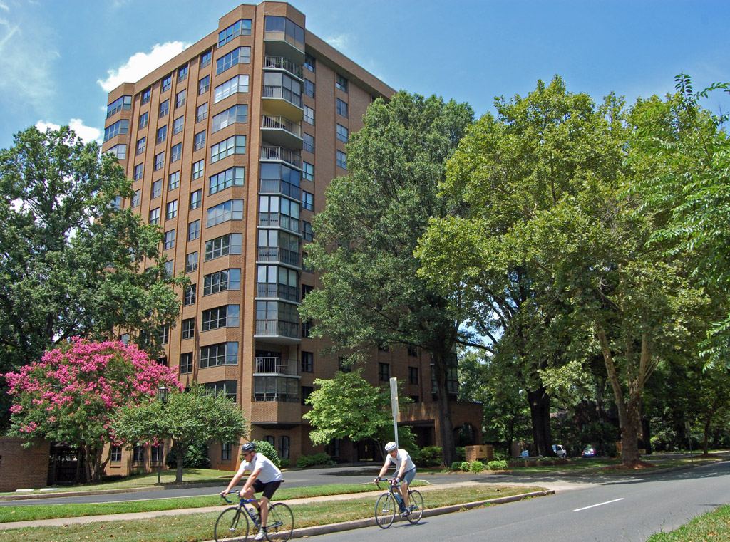

Dilworth — Olmsted Brothers
Listed on the National Register in April 1987. The Park Service records Olmsted Bros. among the designers — the firm founded by the sons of Frederick Law Olmsted, who designed Central Park — and lists landscape architecture as an area of significance alongside community planning and architecture. The periods of significance begin in 1875–1899, earlier than any other Charlotte suburb on the register, and the significant name recorded is Edward Dilworth Latta, whose middle name the neighbourhood carries.
The boundaries in the record run roughly between Myrtle, Morehead, Berkeley, Dilworth Road West, Charlotte, Park, Tremont, Cleveland and Renssalaer, with two extra blocks on Euclid and Lyndhurst Avenues.
Myers Park — John Nolen and Earle Sumner Draper
Listed in August 1987, covering 597 acres. The Park Service records John Nolen and E. S. Draper as designers. Nolen was among the most influential city planners in America in the first decades of the twentieth century; Draper worked with him before building a large practice of his own in the South.
Architecture is recorded as Colonial Revival, Bungalow/Craftsman and Tudor Revival. The areas of significance are unusually broad — industry, community planning and development, landscape architecture, commerce and architecture — and the periods run from 1900 to 1974.
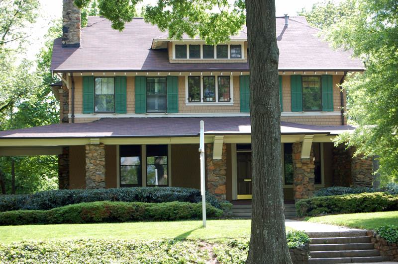

Elizabeth — John Nolen again
Listed in January 1989. John Nolen is recorded among the designers here too, with landscape architecture again named as an area of significance in its own right. The architecture fields list Colonial Revival, Bungalow/Craftsman and Tudor Revival; the periods of significance are 1900–1949, with 1900, 1905 and 1915 named as significant years.
The boundaries run roughly between Central Avenue, the Seaboard Coast Line Railroad, East 5th Street, Kenmore Avenue, Park Drive and East Independence.
Wesley Heights — Louis Asbury
Listed in November 1995. The Park Service records Louis Asbury among the architects — Charlotte's first professionally trained architect, and a name that recurs across the city's early twentieth-century buildings. Architecture is Bungalow/Craftsman, Colonial Revival and Tudor Revival; significance is architecture and community planning and development; the periods are 1900–1949 with 1911 named as a significant year.
Wesley Heights sits on the west side, bounded by West Morehead Street, Woodruff Place, Lela Avenue, the CSX tracks, Tuckaseegee Road, West Trade Street and South Summit Avenue.
Pharrsdale — Patterson and Ritch
Listed in February 2002, and smaller and later than the others: bounded by Biltmore Drive, Cherokee Road, Providence Road and Scotland Avenue. Architects George D. Patterson and Morris R. Ritch are recorded, with Colonial Revival and Tudor Revival architecture, a period of 1925–1974 and 1926 as the significant year.
And the ones that were not gentle at all
Two other Charlotte-area districts on the register were designed by the same professional world for an entirely different purpose. North Charlotte — today's NoDa — was a textile mill village laid out beside the Southern Railroad, and the Park Service names Stuart Warren Cramer and North Charlotte Realty, with industry as the first area of significance and 1903, 1905 and 1913 as the significant years. Pineville Mill Village, listed in 2011, records Earle Sumner Draper — the same man who worked on Myers Park — with architecture and industry as its areas of significance.
That pairing is the most interesting thing in the whole register for Charlotte. The professional designers who laid out the city's most expensive neighbourhoods were also laying out its mill housing, in the same decades, sometimes the same individuals.
Seeing it
All of these are residential neighbourhoods where people live. Walk the public streets, look at the street pattern and the setbacks, and leave the gardens and the porches alone.
Every fact on this page comes from the National Park Service's listing record for the district named. You can read each record through NPGallery.
Places on this page, in detail
Read next
Local landmark or National Register? What the labels actually mean
If you have looked into an old Charlotte building you will have met both phrases, often on the same…
Dilworth
Dilworth was laid out for Edward Dilworth Latta, and it kept his middle name. The National Register of…
NoDa (North Charlotte)
NoDa is short for North Davidson, the street it grew up along. The name is recent; the place is not. On…
The Historic West End
West of Uptown, around the campus of Johnson C. Smith University, is a network of neighbourhoods that…
University City
Charlotte's north-eastern quarter is organised around a university, a boulevard and a rail line, and…
Brooklyn: the neighbourhood Charlotte demolished
If you stand in Charlotte's Second Ward today — among the government buildings, the car parks and…