
The Historic West End
It is worth being clear about why this matters. Charlotte lost a great deal of its Black urban fabric in the twentieth century. The Historic West End digital mapping project, which documents the corridor through photographs, newspapers, records and oral histories with long-time residents, puts it this way: many of Charlotte's historic Black communities "have been erased forcibly from the landscape by urban renewal policies in the 1970's and the city's economic expansion during the 1980's and 1990's, but the Historic West End has survived largely intact." The same project names present-day displacement as an ongoing concern. Its collections are organised under headings including school desegregation, highways, bombings and civil rights.
Two very recent designations. In May 2026 two West End neighbourhoods — McCrorey Heights and Oaklawn Park — were added to the National Register of Historic Places. McCrorey Heights sits roughly between I-77, Oaklawn Avenue, Fairmont Street and the Brookshire Freeway; Oaklawn Park between I-77, Waddell Street Park, Oaklawn Cemetery, Mulberry Avenue and Russell Avenue. Both listings are new enough that most published guides to Charlotte do not mention them.
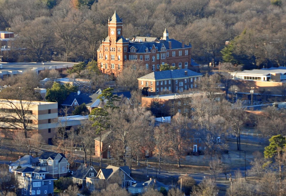
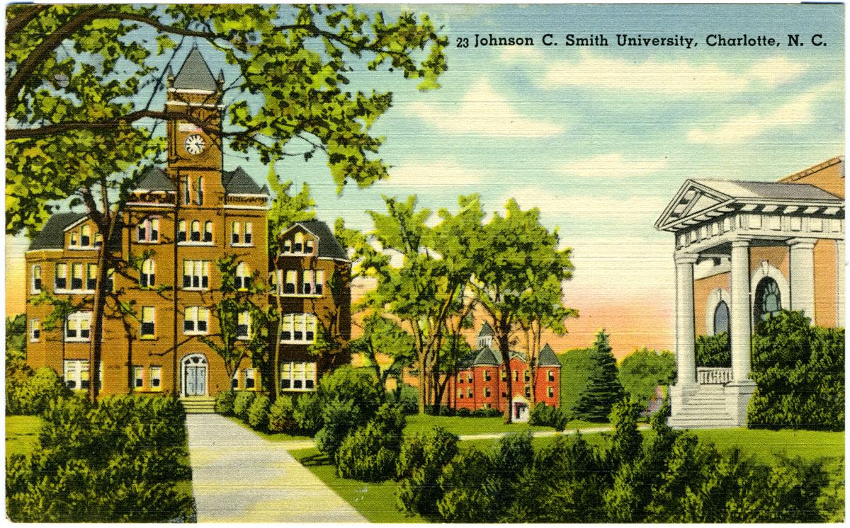
Buildings to know. Biddle Memorial Hall at Johnson C. Smith University has been on the National Register since 1975; the Park Service records it as Romanesque and gives 1883 as its significant year. First Baptist Church–West at 1801 Oaklawn Avenue is a congregation dating to 1867; its modernist sanctuary, completed in 1977, was the first church designed by Harvey Gantt, who went on to become Charlotte's first Black mayor. Friendship Missionary Baptist Church has been at 3400 Beatties Ford Road since 2006; its own history begins with forty people meeting in each other's homes.
On foot. The Irwin Creek, Stewart Creek and Wesley Heights greenways thread through the area and connect toward Uptown. The underpass at Parkway Avenue carries a mural celebrating Charlotte's west side. Be aware that parking at the greenway trailheads here is limited — one segment records twelve spaces — and no restrooms are recorded on these sections.
Further reading. The Historic West End project's own map and collections are the best place to go next, and they are the work of the community they describe.

Places on this page, in detail
- Waddell Street Park · parks and open space
- Community · public art
- Biddle Memorial Hall · Romanesque Revival
Read next
Local landmark or National Register? What the labels actually mean
If you have looked into an old Charlotte building you will have met both phrases, often on the same…
Who designed Charlotte: the planned suburbs
Drive through Dilworth, Myers Park or Elizabeth and the streets curve where a developer working to a…
Dilworth
Dilworth was laid out for Edward Dilworth Latta, and it kept his middle name. The National Register of…
NoDa (North Charlotte)
NoDa is short for North Davidson, the street it grew up along. The name is recent; the place is not. On…
University City
Charlotte's north-eastern quarter is organised around a university, a boulevard and a rail line, and…
Brooklyn: the neighbourhood Charlotte demolished
If you stand in Charlotte's Second Ward today — among the government buildings, the car parks and…