.jpg)
NoDa: Charlotte's mill village turned arts district
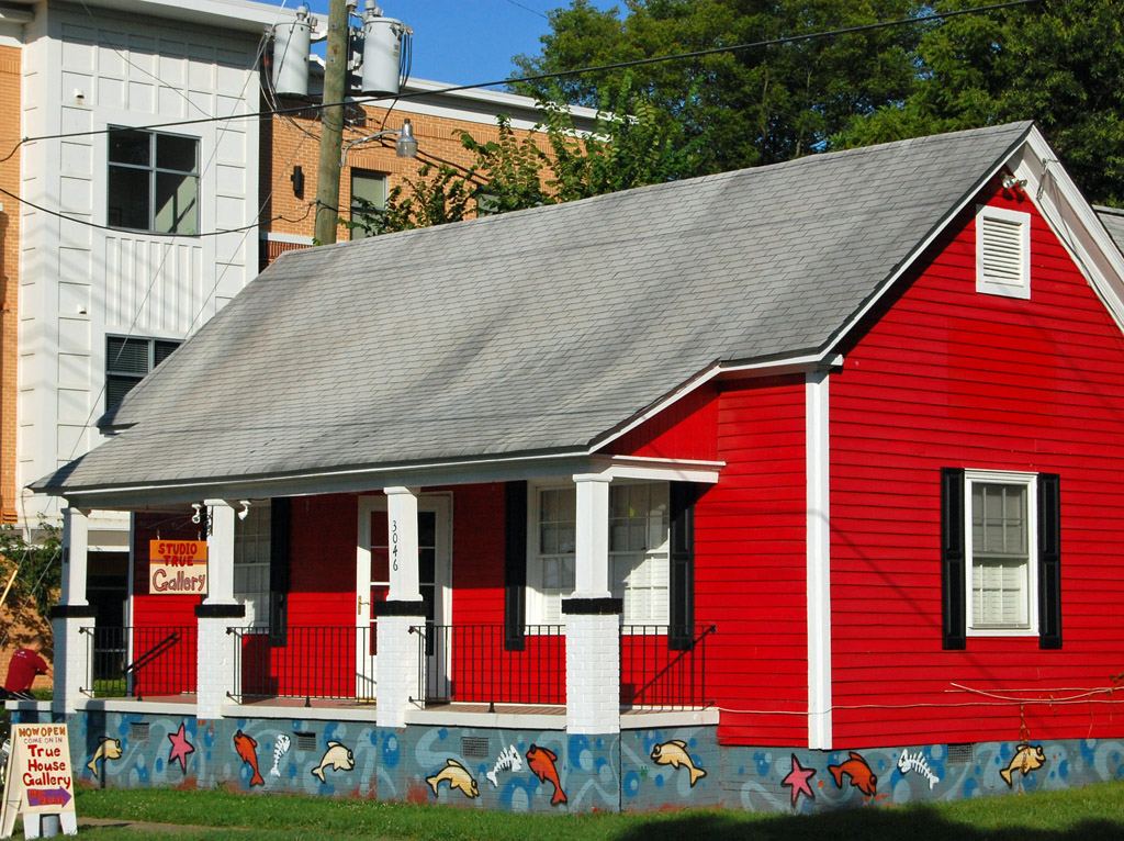
That is why the streets look the way they do. The bungalows and late-Victorian cottages between Herrin Street, Spencer Street and Charles Avenue were built for people who walked to work at the mills. The neighbourhood's own association was, until recently, called the Historic North Charlotte Neighborhood Association, and it still runs a committee called "Back in the Day".
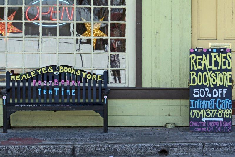
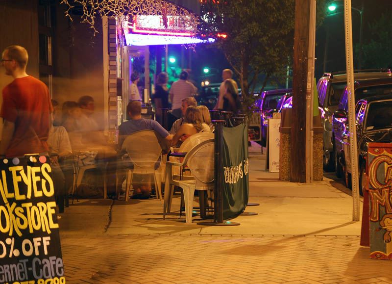
What's there now. The mill buildings did not come down; they changed use. NoDa Brewing Company has been brewing on West 32nd Street since 2011, and Birdsong Brewing — founded in 2010 by Chris and Tara Goulet — sits on North Davidson Street itself. A short walk toward Optimist Park brings you to Optimist Hall, a food hall inside a converted mill with more than twenty-five food stalls, a bar and an on-site brewery. The neighbourhood association describes NoDa as Charlotte's arts district and runs regular ArtWalks along with two annual street events, NoDa Bizarre and NoDaWeen.
Walking and getting there. NoDa is one of the two ends of Charlotte's longest green corridor: Little Sugar Creek Greenway begins at Brevard Street here and runs roughly seventeen miles south to the South Carolina state line, according to Mecklenburg County. The LYNX Blue Line stops at 36th Street and 25th Street, which makes this one of the easiest parts of Charlotte to reach without a car.
A suggested half-day. Arrive by light rail at 36th Street. Walk the North Davidson blocks and look at the houses with the mill village in mind — the scale of the lots and the porches are the tell. Eat at Optimist Hall. If the weather is good, pick up the greenway at Brevard Street and walk south as far as you feel like; it is continuous and paved.
Opening hours, ArtWalk dates and event dates change — check with the NoDa Neighborhood & Business Association and with each business before you set out.


Places on this page, in detail
- Industry · public art
- North Charlotte Historic District · Bungalow/Craftsman
Read next
Local landmark or National Register? What the labels actually mean
If you have looked into an old Charlotte building you will have met both phrases, often on the same…
Who designed Charlotte: the planned suburbs
Drive through Dilworth, Myers Park or Elizabeth and the streets curve where a developer working to a…
Dilworth
Dilworth was laid out for Edward Dilworth Latta, and it kept his middle name. The National Register of…
The Historic West End
West of Uptown, around the campus of Johnson C. Smith University, is a network of neighbourhoods that…
University City
Charlotte's north-eastern quarter is organised around a university, a boulevard and a rail line, and…
Brooklyn: the neighbourhood Charlotte demolished
If you stand in Charlotte's Second Ward today — among the government buildings, the car parks and…