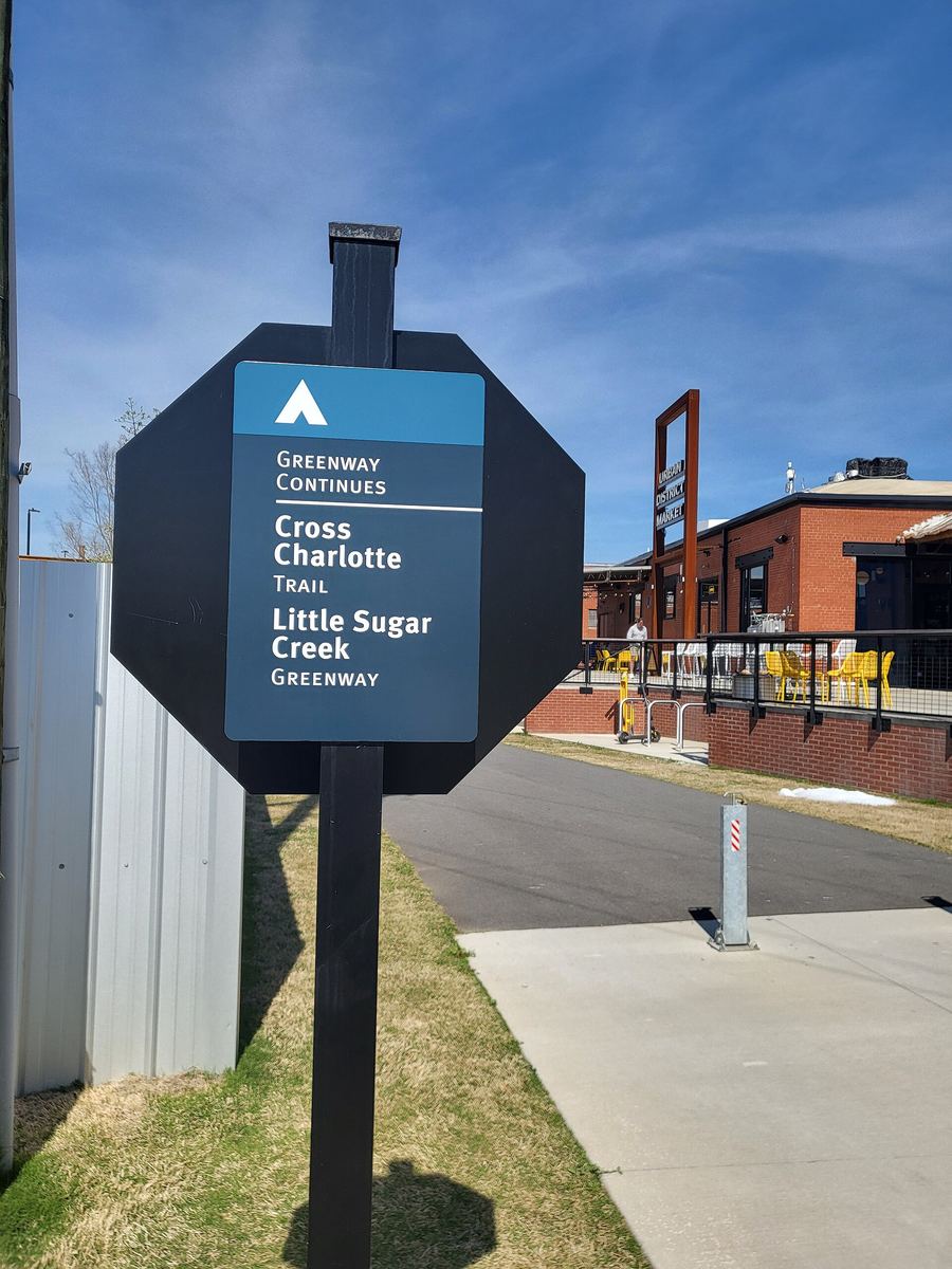

The Trail of History walk
Researched from official trail and map records, last checked 13 September 2026. We have not walked this route. Conditions change — check with the trail manager before you set out.
Charlotte's only outdoor history museum is a footpath. Along the urban section of Little Sugar Creek Greenway, between East 7th Street and Morehead Street, stands a series of larger-than-life bronze statues of people who shaped Mecklenburg County. The organisation behind them, the Trail of History, describes its purpose as recapturing and preserving the significance of those individuals.
The practical facts
| Start | East 7th Street, by Elizabeth Park. The Trail of History gives its address as 101 N Kings Dr, Charlotte, NC 28204 |
| Finish | Morehead Street |
| Distance | 1.3 miles one way; 2.6 miles there and back |
| Time | Roughly 25–30 minutes each way at a steady walking pace — an estimate, calculated at 3 mph on level paved surface, not a measured time. Allow an hour and a half if you stop at every statue |
| Surface | Paved greenway, with separate walking and cycling paths |
| Lighting | None. The trail manager's records for Little Sugar Creek state there is no lighting on the trail |
| Parking | A public lot at Elizabeth Park on Elizabeth Avenue sits about a quarter of a mile from the 7th Street access |
| Dogs | Permitted on a lead on the greenway |
Who you will meet
Statues shown on the Trail of History's own map include Spratt & Haigler, Annie Alexander, Captain Jack, Thompson Orphanage, Philip Lance and Van Every, William Henry Belk, Thad Tate, James Duke, Jane Wilkes and Julius Chambers.
The organisation publishes a free self-guided audio walking tour that tells each person's story properly. Start there rather than with us.
Making more of it
The greenway continues in both directions. South, it runs on toward Freedom Park — the Brandywine Road to 7th Street stretch is a continuous 3.9 paved miles with parking and restrooms. North, a 0.6-mile connector along Central Avenue carries you over the Independence Freeway toward Cordelia Park.
The Uptown CycleLink also meets the greenway at 7th Street. It is a protected cycle and e-scooter route, rated moderate to advanced, and dogs are not allowed on it — so if you are walking, stay on the greenway.
Before you go
Little Sugar Creek Greenway is subject to flooding, and the trail manager asks users to check for closures and to watch for soil and debris washed onto the path after rain.
Trail of History map and audio tour · Greenway conditions, Mecklenburg County
Places on this page, in detail
- Freedom Park · parks and open space
- Elizabeth Park · parks and open space
- Cordelia Park · parks and open space
Read next
Charlotte's greenways: what they are and where they go
Mecklenburg County's greenways are not, strictly speaking, footpaths. The county classes them as linear…
Getting around Charlotte
Charlotte is a driving city with a usable spine of rail and a greenway network that does more work than…
Charlotte Museum of History and the 1774 Alexander Rock House
The oldest building in Charlotte is not in Uptown. It is a stone house on an eight-acre campus in east…
Bechtler Museum of Modern Art
Most museum collections are assembled. This one was lived with.
Carolina Raptor Center, Huntersville
It started with one bird. In 1975 someone brought an injured broad-winged hawk to Dr Richard Brown, an…
Historic Rosedale
The neighbours called it Frew's Folly. Archibald Frew, Charlotte's postmaster and tax collector…